Picterra
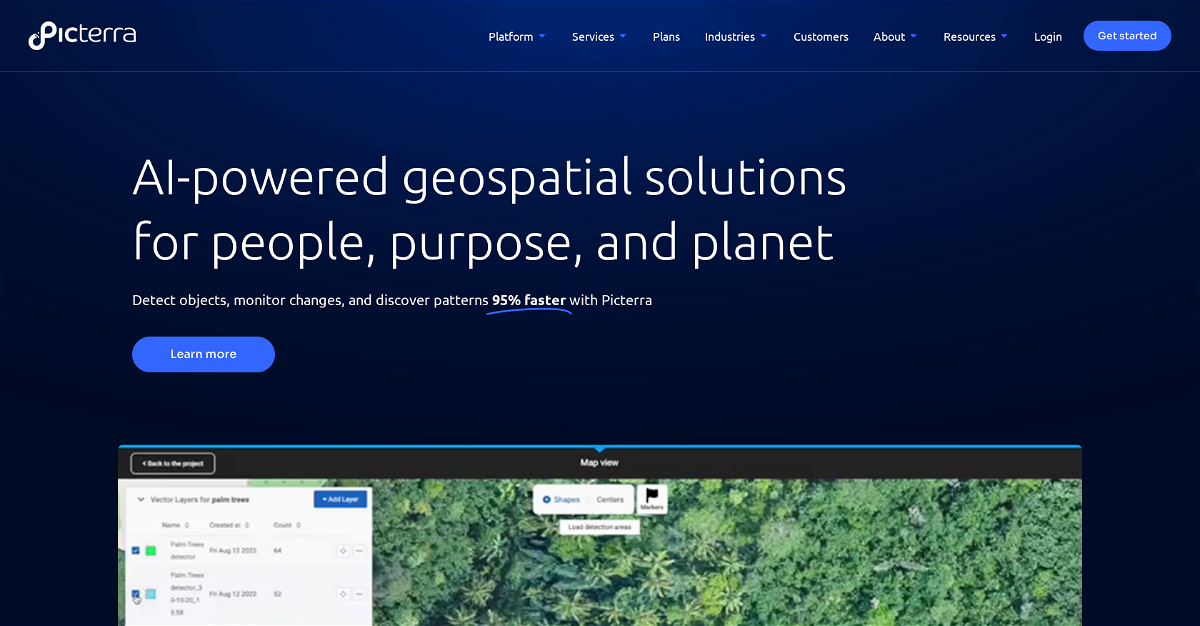
Picterra is a powerful cloud-based platform that uses artificial intelligence (AI) to analyze satellite and drone imagery, making it easier for businesses to understand and manage their assets. Picterra's intuitive interface and advanced AI algorithms automate data analysis, revealing insights that can help you optimize your operations, make informed decisions, and contribute to a sustainable future.
Highlights:
- Accelerated Insights: Picterra's AI-powered analysis speeds up your data processing, so you can quickly identify patterns, changes, and important objects within your geospatial data.
- Enhanced Accuracy: Picterra's algorithms are designed to deliver highly accurate results, ensuring you can confidently rely on the information generated.
- Industry-Specific Solutions: Picterra offers tailored solutions for a range of industries, including forestry, agriculture, mining, and infrastructure, providing specific functionalities to address your unique challenges.
Key Features:
- Object Detection: Identify specific objects like trees, crops, buildings, or mining equipment within satellite imagery.
- Change Monitoring: Track changes over time, like deforestation, crop growth, or infrastructure development.
- Pattern Discovery: Uncover hidden trends and patterns within your data that can lead to new insights and optimized processes.




Comments
Please log in to post a comment.