OpenSurfaced
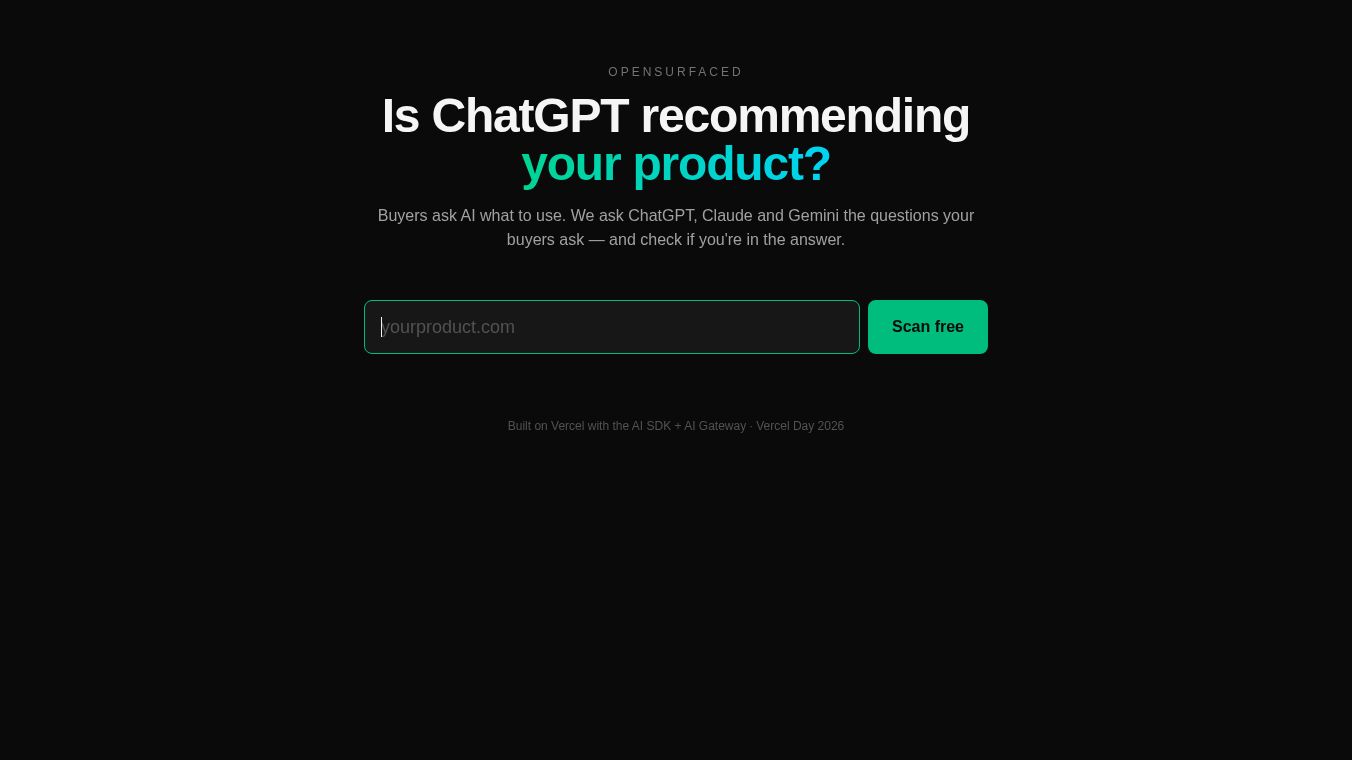





OpenSurface Land-Use Tracking Platform Launches at COP25
Introduction
OpenSurface is a new tool designed to track how land is used around the world. It was launched at the COP25 UN Climate Summit. This open-source project is not for profit. It uses advanced artificial intelligence, satellite pictures, and data from the ground to help fight climate change. The system can cover the entire Earth. It brings together many different types of data to help governments and organizations manage resources better and protect the environment.
Benefits
OpenSurface offers several key advantages for managing land and forests. It combines modern technologies like AI, secure digital ledgers, remote sensing, and the Internet of Things. Its main job is to compare what was planned for a piece of land with what is actually happening on the ground. For example, it checks if forests are being cut down when they were supposed to be protected. This helps reduce deforestation and forest degradation. By improving how land is managed, the platform aims to cut global greenhouse gas emissions. It also helps make agriculture more sustainable, improves food security, and protects biodiversity. The system creates accurate and fast alerts for staff when there is a problem. This allows for better resource allocation and environmental governance.
Use Cases
OpenSurface is useful for governments, companies, and international projects that need to monitor land use. A pilot program with the Chilean government shows how it works in practice. The system uses official land records along with satellite and ground data. It alerts forest officials whenever there is a difference between the authorized plans and the reality on the ground. This helps protect native forests in Chile from illegal logging. The platform can scale globally to monitor land use anywhere. It is designed to build trust between different groups by providing clear data. It can be used to link outcomes to payments or alerts for various stakeholders. This makes monitoring, reporting, and verification much more effective and affordable.
Pricing
OpenSurface is an open-source, not-for-profit initiative. Specific pricing details are not available because the project is designed to foster cooperation and trust rather than generate profit through sales.
Vibes
Experts and partners have praised the initiative. Nick Beglinger, CEO of Cleantech21, said OpenSurface represents next-generation digital monitoring for land management. He noted that outcomes can be linked to alerts or payments to create accurate services. Patrick Bürgi, Co-founder of South Pole, stated that the platform can scale globally to make monitoring more effective and affordable. He believes it allows for new levels of trust between governments and companies. Jose Antonio Prado Donoso from the Chilean government called it real innovation with the potential to scale rapidly for better governance. Riyong Kim from Climate KIC described it as an exciting project that uses pioneering technology to improve forest monitoring.
Additional Information
OpenSurface is a collaborative effort involving an international team of developers and climate experts. Key partners include Cleantech21, South Pole Carbon Asset Management, DS3 Lab, Scout Impact R&D, and ETH Zurich. The project is funded by IDB Lab and Climate KIC. The team includes Hack4Climate winners from COP23. The initiative aims to create new ways to integrate diverse data sources and encourage cooperation among different groups.
This content is either user submitted or generated using AI technology (including, but not limited to, Google Gemini API, Llama, Grok, and Mistral), based on automated research and analysis of public data sources from search engines like DuckDuckGo, Google Search, and SearXNG, and directly from the tool's own website and with minimal to no human editing/review. THEJO AI is not affiliated with or endorsed by the AI tools or services mentioned. This is provided for informational and reference purposes only, is not an endorsement or official advice, and may contain inaccuracies or biases. Please verify details with original sources.


Comments
Please log in to post a comment.