HappyRobot
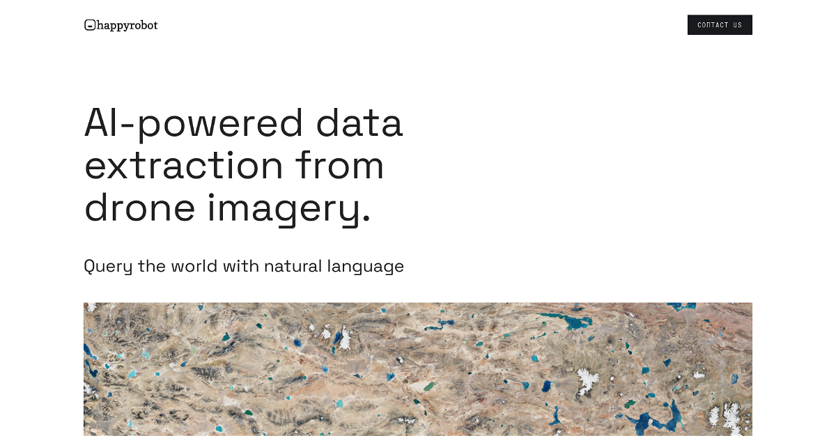
Happyrobot is an AI-powered tool that makes it easy to extract valuable data from geospatial images like satellite, drone, and aerial photos. Think of it as a powerful assistant that understands your questions and can analyze complex images to find the information you need. You can upload your own images, use images from Happyrobot's partners, or even select a single example to find all similar objects within your entire dataset. This lets you turn your images into actionable insights for decision making in fields like urban planning, environmental monitoring, and more.
Highlights:
- Upload your own images or use images from trusted partners.
- Find all objects of interest in your dataset by providing just one example.
- Export your results in multiple formats, including email, PDF, ArcGIS, and API.
- Turn your geospatial data into a recurring revenue stream through partnerships.
Key Features:
- Natural Language Queries: Easily interact with Happyrobot using plain English to find the data you need.
- Advanced Algorithms: Leverage powerful AI and machine learning to analyze images and extract meaningful information.
- Flexible Export Options: Choose how you want to access your data, from email to industry-standard formats like ArcGIS.
- Monetize Your Data: Partner with Happyrobot to create AI models and generate revenue from your geospatial assets.
This content is either user submitted or generated using AI technology (including, but not limited to, Google Gemini API, Llama, Grok, and Mistral), based on automated research and analysis of public data sources from search engines like DuckDuckGo, Google Search, and SearXNG, and directly from the tool's own website and with minimal to no human editing/review. THEJO AI is not affiliated with or endorsed by the AI tools or services mentioned. This is provided for informational and reference purposes only, is not an endorsement or official advice, and may contain inaccuracies or biases. Please verify details with original sources.




Comments
Please log in to post a comment.