GEOAhead
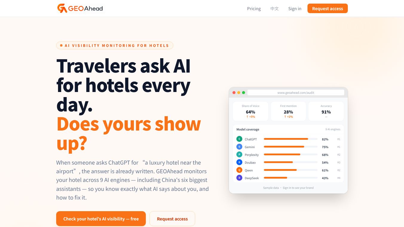





GEOAhead: A Tool for Geospatial Intelligence
GEOAhead is a platform designed to help organizations make better decisions using location-based data. It turns complex maps and spatial information into clear insights that teams can use quickly. The tool is built for people who need to understand how geography affects their work, whether they are in business, government, or research. By combining data from many sources, GEOAhead helps users see patterns and trends that might be hidden in raw numbers.
Benefits
One of the main advantages of GEOAhead is its ability to simplify complex data. Instead of getting lost in spreadsheets or confusing maps, users get a clear view of what matters. The platform allows teams to collaborate easily, so everyone can share insights and work on the same data at the same time. It also supports real-time updates, meaning users always have the latest information available. This speed helps organizations react faster to changes in their environment. Another key benefit is its flexibility. The tool can adapt to different needs, whether a user is tracking supply chains, planning urban development, or studying environmental changes.
Use Cases
GEOAhead is used in many different fields. In logistics and supply chain management, companies use it to optimize delivery routes and track goods in real time. This helps reduce costs and improve efficiency. Urban planners and government agencies use the platform to analyze population growth, plan infrastructure projects, and manage resources like water or energy. Environmental scientists rely on GEOAhead to monitor changes in land use, track wildlife habitats, or study the effects of climate change. Even retail businesses use location data to choose the best spots for new stores or to understand customer behavior based on where they live.
Pricing
GEOAhead offers different pricing plans to fit various needs. Basic plans are available for small teams or individual users who need core features. Larger organizations can choose enterprise-level packages that include advanced analytics, custom integrations, and dedicated support. Specific pricing details are not publicly listed, but interested users can contact the company for a quote based on their requirements.
Vibes
Users who have tried GEOAhead often praise its ease of use and powerful capabilities. Many reviews highlight how the platform makes difficult data easy to understand. Some users mention that the real-time features have helped them solve problems faster than before. While some early adopters noted a learning curve for advanced features, most agree that the support team helps them get up to speed quickly. Overall, the platform has a positive reputation for delivering value across different industries.
Additional Information
GEOAhead has grown through strategic partnerships with other data providers and technology firms. These collaborations allow the platform to access a wider range of data sources and integrate with existing systems more smoothly. The company has also received recognition for its commitment to data privacy and security, which is crucial for handling sensitive location information. As the demand for geospatial intelligence continues to rise, GEOAhead remains focused on expanding its capabilities and serving a growing global user base.
This content is either user submitted or generated using AI technology (including, but not limited to, Google Gemini API, Llama, Grok, and Mistral), based on automated research and analysis of public data sources from search engines like DuckDuckGo, Google Search, and SearXNG, and directly from the tool's own website and with minimal to no human editing/review. THEJO AI is not affiliated with or endorsed by the AI tools or services mentioned. This is provided for informational and reference purposes only, is not an endorsement or official advice, and may contain inaccuracies or biases. Please verify details with original sources.


Comments
Please log in to post a comment.