DroneDeploy is a helpful tool that lets users take pictures from the air and the ground. These pictures are then used to make detailed maps and models. It is made to be easy to use and quick, so it works well for many different jobs.
Benefits
DroneDeploy has many good points. It makes planning flights and taking pictures simple. This helps users get the best pictures with lots of overlap. This makes it easier to create accurate maps. The service works for both air and ground pictures, so it is useful for many types of projects. The DroneDeploy app is free on both iOS and Android, so many people can use it.
Use Cases
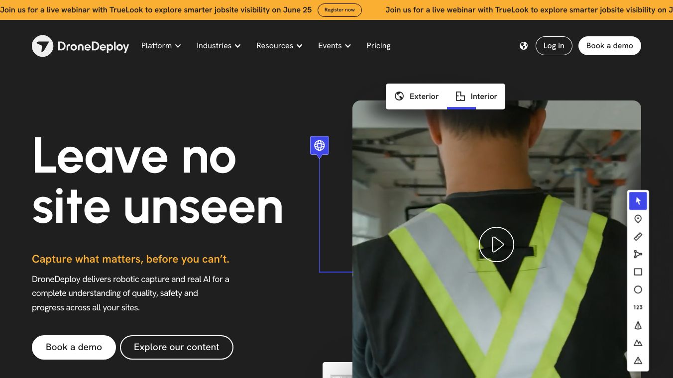
DroneDeploy can be used in many ways. For taking pictures from the air, it is great for jobs like checking big areas, watching construction sites, and looking at things like power lines and buildings. It works with DJI drones, which many people like. For ground maps, DroneDeploy Ground is perfect for taking pictures inside and outside. This is useful for real estate, building design, and interior design. It uses 360 cameras, smartphones, and ground robots, so it works for many mapping needs.
Additional Information
To start with DroneDeploy, users can read the ''What Do I Need to Start Mapping?'' article. This guide gives helpful tips on getting ready for the first flight and using the service well. Whether you are a professional or a hobbyist, DroneDeploy has the tools and help you need to take and process good pictures.


Comments
Please log in to post a comment.