Alertra
Real-Time Disaster Alerts: Know Before It Strikes
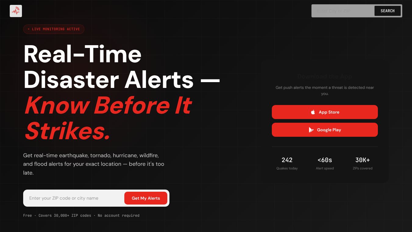
Alertra is a free app that sends instant warnings about dangerous events like earthquakes, tornadoes, and floods. It covers more than 30,000 US ZIP codes and does not require users to create an account. The goal is to give people time to prepare before a disaster hits their specific street.
Benefits
Alertra offers several key advantages over standard government alerts. It uses hyperlocal precision to pinpoint threats to your exact street instead of sending vague county-wide sirens. The system pulls raw data directly from major government sources like the USGS, NOAA, and NASA. This direct connection bypasses middlemen and ensures push notifications arrive in under 60 seconds after a rupture is detected. Users can monitor multiple disaster types from a single hub, including earthquakes, tornadoes, wildfires, floods, hurricanes, and tsunamis. The app provides faster, smarter, and more precise warnings compared to traditional methods.
Use Cases
This tool is designed for anyone living in the United States who wants immediate safety information. It is useful for residents in areas prone to earthquakes, such as California, or those living near coastlines where hurricanes and tsunamis are a risk. The app helps people stay informed during wildfire seasons by tracking satellite perimeter logic and containment shifts. It also assists during flood events by providing water level indexing and evacuation priority routing. Because it covers over 30,000 ZIP codes, it serves a wide range of communities across the country.
Pricing (ONLY include if available)
Alertra provides a comprehensive service that is completely free for all users. There are no hidden fees or required account sign-ups to access the alerts.
Vibes (ONLY include if available)
Users appreciate the speed and accuracy of the warnings. The app is praised for delivering alerts within 60 seconds of a verified event detection. Many find the direct-to-phone push notification feature superior to waiting for carrier alerts or government broadcasts. The ability to track 242 earthquakes today and receive hyper-local impact radius data to the mile is a major plus for safety-conscious individuals.
Additional Information (ONLY include if available)
Alertra connects directly to three major government data pipelines to ensure reliable information. It integrates with USGS seismic data feeds, NOAA NWS for weather events, and NASA FIRMS for wildfire detection. The platform unifies disaster data scattered across various agencies into a single real-time feed. Currently, the system tracks significant activity including 242 earthquakes on a typical day.
This content is either user submitted or generated using AI technology (including, but not limited to, Google Gemini API, Llama, Grok, and Mistral), based on automated research and analysis of public data sources from search engines like DuckDuckGo, Google Search, and SearXNG, and directly from the tool's own website and with minimal to no human editing/review. THEJO AI is not affiliated with or endorsed by the AI tools or services mentioned. This is provided for informational and reference purposes only, is not an endorsement or official advice, and may contain inaccuracies or biases. Please verify details with original sources.


Comments
Please log in to post a comment.